Geocoding can help governments and development partners improve division of labor
Mapping aid activities is a powerful way to show what donors are doing and where, which could be a big help in division of labor discussions. Through a pilot country-level geocoding exercise, the Climate Change and African Political Stability (CCAPS) program of the University of Texas and AidData worked with the Government of Malawi’s Ministry of Finance to map all aid activities across the country. They used data from the Aid Management Platform, the government’s system for aid tracking, reporting, and coordination, to identify activities from 27 official donors for geocoding. Then, CCAPS and AidData built an interactive map of aid projects in Malawi (which can be shown against other variables, including climate change vulnerability and conflict events).
The Open Aid Partnership, an initiative spearheaded by the World Bank Institute, envisions repeating this sort of exercise in many countries, which could enable the creation of a common Open Aid Map showing development activities around the world.
This brief video demonstrates how this kind of mapping tool can help donors and governments better understand where aid efforts may be overlapping, and where there may be areas neglected by aid. Read more about the project here.
Share This Post
Related from our library
From Standardization to Specificity: Localizing Multi-Country Research
Multi-country research must balance consistency with local realities. While standardization allows reliable comparisons and generalizable insights, local context shapes outcomes. This blog explores how programs can strike that balance effectively.
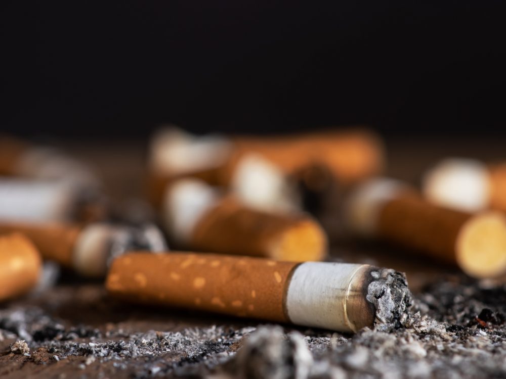
Economic Toll of Tobacco-Related Diseases in Kenya: New Research Findings
Development Gateway: An IREX Venture (DG) is pleased to announce the publication of a research manuscript on the Economic Costs of Tobacco-Related Illnesses in Kenya. This research was carried out as part of the Tobacco Control Data Initiative (TCDI) activities in Kenya and is part of a broader report on Morbidity and Mortality from Tobacco Use in Kenya.
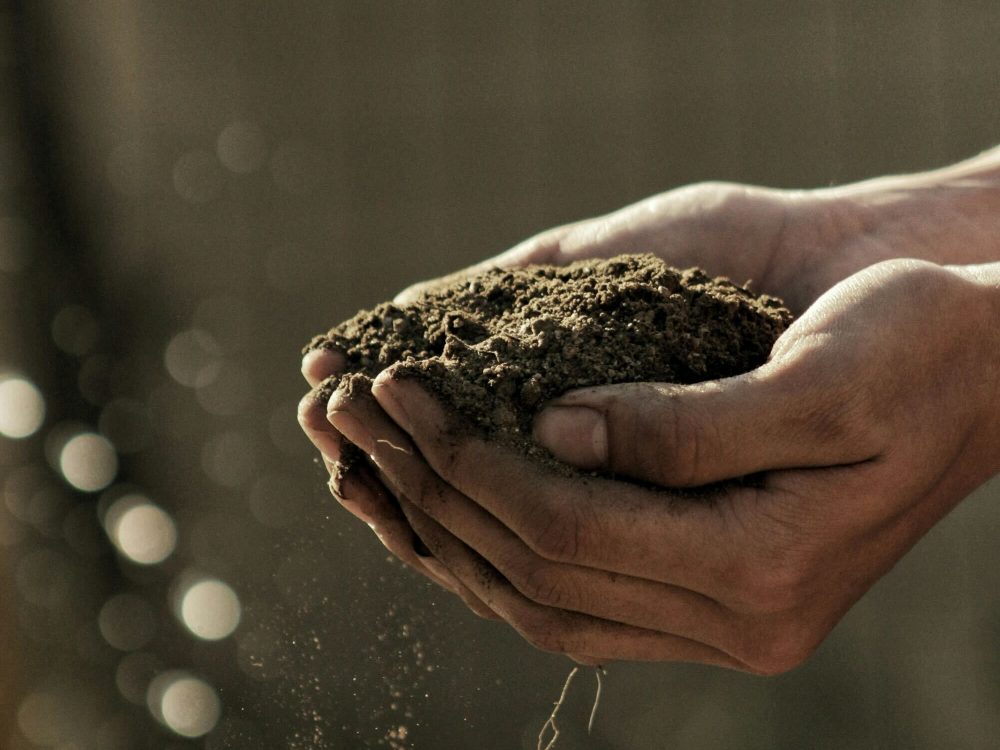
Unlocking Africa’s Agricultural Potential: Introducing the Soil Nutrient Roadmap
For over a decade, Development Gateway: An IREX Venture (DG) has been at the forefront of digital agriculture, leveraging agricultural data to support input monitoring, value chain analysis, and farmer-centric governance models. With funding from the Gates Foundation, DG is launching the Soil Nutrient Roadmap (SNR), a cutting-edge initiative using geospatial data to estimate current and future soil and crop nutrient requirements.