Improving Aid Transparency Through Geocoding: AidData Maps Development Activities’
Achieving global development objectives depends on involving stakeholders in aid-funded work, strengthening accountability of donor agencies and partner governments, and building country ownership. Yet sometimes even basic information such as the location of an aid project is difficult to find. Information on project locations is critical for determining whether aid is reaching areas of greatest need, as well as for avoiding duplication of effort within a country. Geocoding, or recording the location of aid projects at the sub-national level, enables visual tracking of where the money is flowing and what kind of aid each area is receiving.
AidData, in collaboration with Uppsala University, has developed a comprehensive way to geocode aid projects. AidData is a collaboration between Brigham Young University, the College of William and Mary, and Development Gateway. By defining multiple levels of geographical precision, AidData is able to accurately identify the locations of all types of development projects. Using our rigorous yet flexible methodology, teams of trained researchers work with donor and government agencies to determine the precise location of development activities. Mapping this information then enables a better understanding of the allocation of aid within a country, highlighting any potential financing gaps, displaying inequities of aid distribution, and ensuring that aid money flows to those who need it most. Recent work includes the Mapping for Results partnership with the World Bank Institute, where 1200 projects were geocoded using our methods. Maps of the results for about 70 countries are available at www.AidData.org
Share This Post
Related from our library
Introducing The HackCorruption Civic Tech Tools Repository
Introducing the Civic Tech Tools Repository: an open-source hub of digital solutions to fight corruption. Designed for growth through GitHub contributions, it brings together tools, code, and resources across six key areas for HackCorruption teams and beyond.

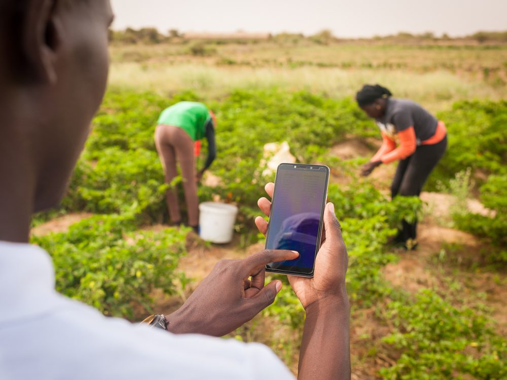
Building a Sustainable Cashew Sector in West Africa Through Data and Collaboration
Cashew-IN project came to an end in August 2024 after four years of working with government agencies, producers, traders, processors, and development partners in the five implementing countries to co-create an online tool aimed to inform, support, promote, and strengthen Africa’s cashew industry. This blog outlines some of the key project highlights, including some of the challenges we faced, lessons learned, success stories, and identified opportunities for a more competitive cashew sector in West Africa.
Digital Transformation for Public Value: Development Gateway’s Insights from Agriculture & Open Contracting
In today’s fast-evolving world, governments and public organizations are under more pressure than ever before to deliver efficient, transparent services that align with public expectations. In this blog, we delve into the key concepts behind digital transformation and how it can enhance public value by promoting transparency, informing policy, and supporting evidence-based decision-making.