Sensors, Empowerment, and Accountability: Tapping Water Resources in Tanzania
Access to safe water is essential to our health and wellbeing. As an international community, we recognize this as demonstrated by our commitment to Sustainable Development Goal 6, “Ensure availability and sustainable management of water and sanitation for all.” At the national level, universal access to safe water is a core indicator in Tanzania Vision 2025.
However, realizing our goal is not a straightforward matter. In Tanzania, where 65% of citizens live in rural areas, nearly half of rural water sources (“water points”) are not functional, and an estimated 20% of them fail within one year of construction. This means that areas most difficult to reach – and most vulnerable to water stress – are also most in need of greater maintenance and repair resources. Further, water stress has a disproportionately negative effect on women and girls’ educational and economic opportunities.
“The attendance rate for the girl child in school tends to fluctuate if we have challenges, especially water challenges. Even if she has attended class, even if she has homework to do, she still has to go and fetch water and then bring it home…. If we can provide water services, what a big breakthrough we can make for women and girls.”
– Rose Lidonde, SNV Tanzania
How has the Government of Tanzania approached these challenges?
The Waterpoint Mapping System (WPMS) – spearheaded by the Ministry of Water and Irrigation – is one method of approaching these challenges.
WPMS was designed to provide accurate, reliable, and up-to-date information on water points in mainland Tanzania. More specifically, its objective is to increase the accessibility of data related to public rural water point locations and coverage; provide an evidence-base for resource allocation decisions; and ultimately improve service delivery outcomes. Within the Ministry, District Water Engineers (DWEs) have the mandate to track water point data.
An initial nation-wide survey populated the database with over 80,000 water point records, and 10 monitoring attributes per point. But, following this initial paper-based survey, how would the Ministry’s District Water Engineers (DWEs) maintain accurate and timely information?
Annual visits across hundreds of villages, 31 regions, 169 districts, and nearly 1 million square kilometers of country is neither cost-effective nor realistic. Regularly requesting data from Village Executive Officers would also prove unreliable: such reporting is not part of their job descriptions, nor mandated by law.
Yet these obstacles also provided opportunities for innovation – further complemented by:
- Increasing mobile phone penetration in rural areas
- A growing open source technology and innovation community
- Government interest in citizen feedback and accountability
- Opportunities to involve and economically empower rural women
Our solution involved building a network of open source applications, named Sensors, Empowerment, and Accountability (SEMA). Local software developers at the University of Dar-es-Salaam (UDSM), College of Information and Communication Technologies began this work, soon joined by developers from SELCOM, a regional mobile operator; Development Gateway, a digital development firm; with support of the World Bank. This represented a truly cross-sector, collaborative approach.
SEMA tools presently include:
- Back-end API – built upon DHIS2 software, this enables us to populate the database with unstructured (mobile) data, and track progress over time. Before, the system was limited to Excel imports, with no timeline capability.
- Mobile Application Suite – built upon USSD Mobile Technology, this allows DWEs and citizen reporters to update water point data. Additionally, we also have an Android and iOS application that allows the system to register users by their mobile number; map a water point record to a mobile user/ reporter; and update a water point status using a smartphone.
- Dashboard visualization – built in Leaflet, this allows DWEs and citizens to track the statuses of water points; community reporters to confirm their data have been received; and Ministry officials to visualize key indicators for planning.
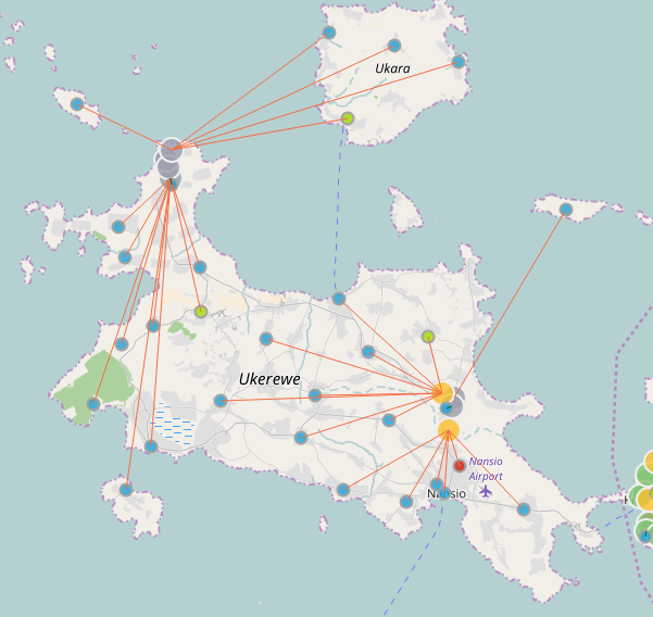
Figure 1: SEMA Network
The SEMA network has been deployed in four districts – Bunda, Morogoro Rural, Njombe and Mufindi. As of December 2016 (according to the Tanzania Communications Regulatory Authority), total voice services penetration (fixed and mobile) stood at 80%; total internet services penetration stood at 40% (fixed and mobile). These numbers lend credence to the importance of our architectural design consideration (depicted above); and an environment that will grow and continue to foster uptake of the reporting waterpoint status. More importantly, waterpoint creation will also be increasingly enabled.
In our next post, we will discuss rollout, and how the system works in practice.
Dr. Juma Lungo is a lecturer and researcher at the University of Daresalaam, and a consultant on information systems and software development.
The Development Gateway WPMS project team includes: Mark Irura, Diego Dimunzio, Monicah Njonjo, Mauricio Bertoli, Galina Kalvatcheva.
Share This Post
Related from our library

A Year After USAID: Reclaiming Control of Data Systems
Just months after the 2025 U.S. aid freeze was announced, we published a blog post warning that the USAID cuts would result in a data crisis, with some countries losing access to their digital health data. This blog explores how those systems – and the countries relying on them – have fared nearly a year on.

Introducing The HackCorruption Civic Tech Tools Repository
Introducing the Civic Tech Tools Repository: an open-source hub of digital solutions to fight corruption. Designed for growth through GitHub contributions, it brings together tools, code, and resources across six key areas for HackCorruption teams and beyond.

Beyond Kigali: Where Does Africa Go from Here with AI?
As the AI momentum builds, Development Gateway is asking different questions: where the data comes from, how reliable it is, how legacy systems will supply usable data, and whether governments have the capacity to govern and trust the AI tools they’re being urged to adopt.