
Stories, ideas, and updates from DGers around the world
The Development Gateway: An IREX Venture blog is where DGers share specific learnings, offer thought-provoking insights, and pose challenging questions for the sustainable development community derived from our work.
Our blog has a deep archive going back to 2005. Each post is a snapshot into our work, priorities, and values.

Development Gateway Extends Support in Ethiopia
Seven years ago, Development Gateway designed and piloted the Aid Management Program with local and international partners and the Ethiopian Ministry of Finance and Economic Development (MOFED). Today, AMP is embedded in Ethiopia’s aid effectiveness action plan and MOFED has declared AMP the official government system for capturing and reporting on aid activities.
Unleashing Open Contracting Benefits via Open Standards
Developing countries lose 10 times more money due to corruption than they receive in official aid. As contracts from the world’s governments amount to $9.5 trillion annually, public procurement is one of the major areas affected by corruption.
4 Ways to Bring Sexy Back to the US Government’s Open Data Strategy
The US Office of Management and Budget (OMB) recently released its Guidance on Collection of U.S. Foreign Assistance Data prompting well-deserved praise from the Center for Global Development in Hooray for Unsexy OMB Data Guidance.
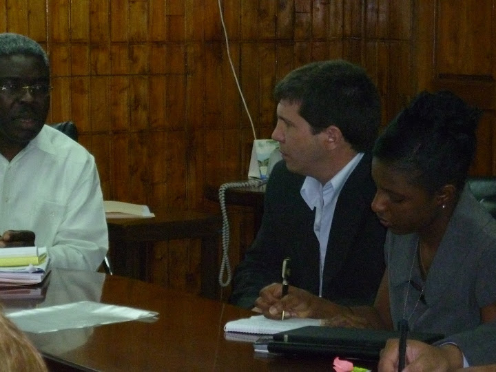
Development Gateway Extends Support in Haiti
Development Gateway is pleased to announce that we will be extending the implementation of the Aid Management Program with the government of Haiti, thanks to the support of UNDP Haiti.rnrnWe will continue to leverage our experience working on aid management in over 20 different countries around the world to support the government’s commitment to aid effectiveness. Our new activities will include:

Please Welcome New Development Gateway Staff
We are always looking for new people to add to Development Gateway's deep roster of talented staff to increase our impact. We're proud to announce that we’ve added several key staff to help us expand and manage our diverse programs.
Announcing the $25 Million AidData Center for Development Policy
Development Gateway is pleased to announce that the United States Agency for International Development (USAID) has awarded the College of William and Mary, Development Gateway, Brigham Young University, the University of Texas at Austin, and Esri, a five-year, $25-million cooperative agreement to increase global aid transparency through the AidData Center for Development Policy.
Please Welcome Moldova to the Aid Management Program Community
Development Gateway is pleased to announce that we will be implementing the Aid Management Program with the government of Moldova thanks to the generous support of UNDP Moldova.rnrnWe will leverage our experience working on aid management in over 20 different countries around the world to support the government’s commitment to share information on external assistance to enhance its effectiveness, transparency and mutual accountability. rnrnThe Moldova AMP will assist the government of Moldova in their efforts to:
Another Hub? Why the OpenGov Hub is Different
Co-working spaces, or Hubs, come in all shapes and sizes and typically have snazzy themes; incubator, accelerator, meet up, etc. They are also all the rage, popping up everywhere from the US to Africa, Asia, and Latin America. Although the ambitions and intent behind each hub are noble and good, these initiatives often struggle both operationally and financially.rnrnWhy is the OpenGov Hub different?
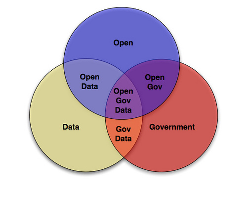
The Open Data Effect: Creating Optimistic Radicals at OKFest’
I am Stephen Davenport, Director of Innovation at Development Gateway, and recently I attended my first Open Knowledge event, the OKFestival in Helsinki Finland. As a development professional with a technology background I am often skeptical of such events as too soft a subject. What is knowledge anyway? It’s too generic. It’s too easy to immerse yourself in the theoretical and loose sight of the practical.
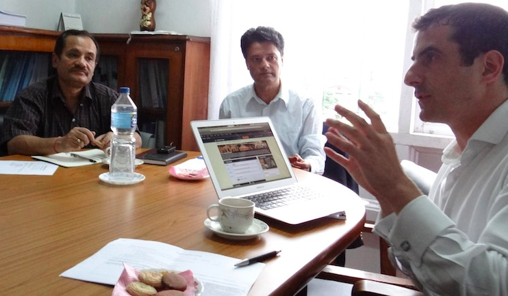
Nepal AMP is a “Very Effective Tool for Government Aid Planning” According to UNDP
The Developing Capacities for Effective Aid Management and Coordination (DCEAMC) project commenced in February 2009 with one of its objectives to put in place a transparent and functioning aid information management system for Nepal. The project is managed by the Foreign Aid Coordination Division (FACD) of the Ministry of Finance in Nepal and funded by UNDP, DFID and DANIDA. Key Government partners include the Ministries of Education, Health and Local Development and the National Planning Commission.