Creating Open Geographic Data for the Fight Against HIV/AIDS
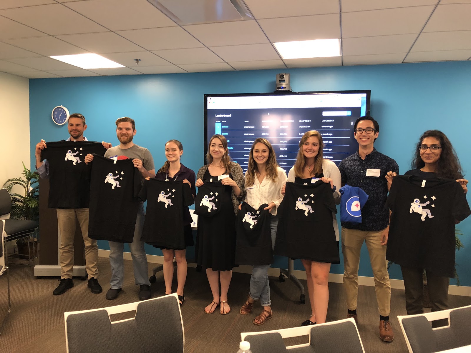
Figure 1: The Top 10 Mappers at the OpenStreetMap Mapathon
Tremendous progress has been made over the past two decades in the fight against HIV/AIDS in Africa. Citizens are more aware of the virus, medications have been improved, and access to support has increased. In Côte d’Ivoire, a remaining challenge in combating HIV/AIDS is to more effectively target hotspots and to ensure that resources are finding their way to local communities with the greatest needs for prevention and treatment.
On July 10th, the Côte d’Ivoire Ministry of Health’s Direction de l’Informatique et de l’Information Sanitaire (Directorate for IT and Health Information – DIIS), USAID, AidData, and Development Gateway co-hosted an OpenStreetMap mapathon to help public authorities and local HIV/AIDS support networks to gain better access to cartographic information relevant to HIV/AIDS. Over 35 mappers gathered at the OpenGov Hub in Washington, DC, combining forces to map over 2,500 buildings, covering 50% of City of San Pédro, the project area. Local mappers will soon walk the streets of San Pédro to provide more information about each of these buildings. This data will then be integrated with other datasets related to HIV/AIDS prevalence, health center coverage, and other key information to inform efforts to curtail HIV/AIDS transmission, improve awareness, and increase access to necessary treatments in these high-risk areas.
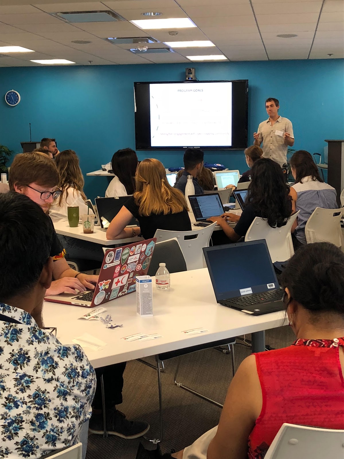
Figure 2: Participants learning more about the OpenDCH Project
The #MapCiV mapathon is part of the Open Geospatial Data Center for Health (OpenDCH) program, which was designed to serve as a hub of collaboration, focusing on stakeholder engagement, alignment of data sources, and forging of data literacy. OpenDCH is a partnership between AidData, Development Gateway, the Ministry of Health’s Direction de l’Informatique et de l’Information Sanitaire (DIIS), and USAID/Côte d’Ivoire.
The #MapCiV mapathon represents the first step in a broader strategy designed to collect data about poorly understood areas of the country, and harness technology to reveal new insights that lead to more informed policy decisions. The next mapathons will take place at the College of William & Mary and at the Centre Universitaire de Recherche et d’Application en Télédétection (CURAT) in Abidjan. Local mappers, with the support and engagement of OpenStreetMap – Côte d’Ivoire (OSMCI), will take to the streets of seven areas of the country for a total of more than 25 days of mapping and 10 additional days of data validation.
Share This Post
Related from our library

Three Fundamentals for Climate and the Future of Health
Climate change is no longer a distant environmental concern; it is a growing public health challenge. Reflecting on discussions during London Climate Action Week, this blog explores why stronger investment, cross-sector collaboration, and better data are essential to building climate-resilient health systems.

A Year After USAID: Reclaiming Control of Data Systems
Just months after the 2025 U.S. aid freeze was announced, we published a blog post warning that the USAID cuts would result in a data crisis, with some countries losing access to their digital health data. This blog explores how those systems – and the countries relying on them – have fared nearly a year on.
Data on Youth and Tobacco in Africa Program Enters Phase II
The Data on Youth and Tobacco in Africa (DaYTA) program is launching its second phase, expanding to five additional countries. This blog highlights DaYTA’s objectives, innovative approach, and the key activities driving impact in adolescent tobacco control measures.