Posts categorized Program
Page 14
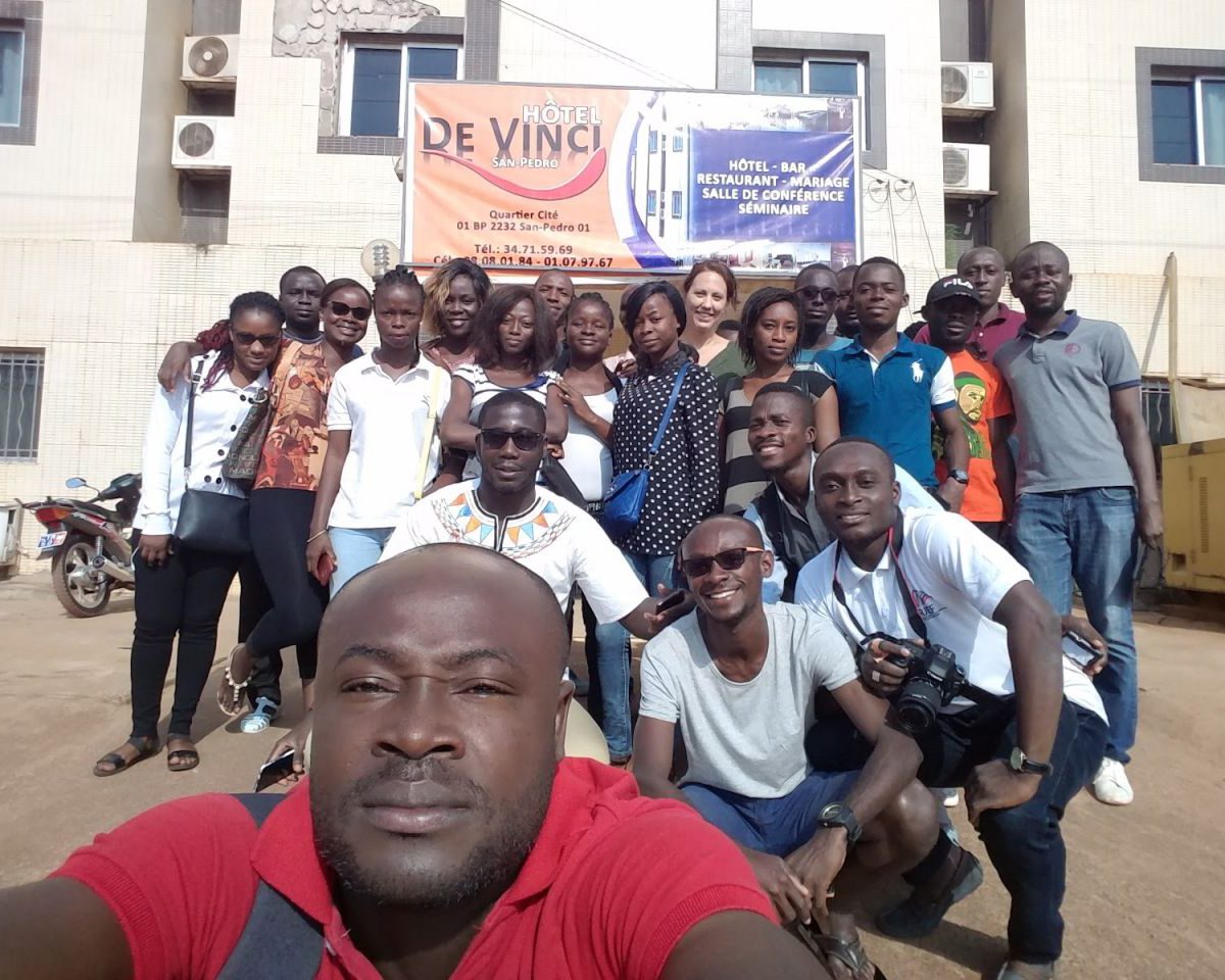
Mapping for the Fight Against HIV/AIDS in Côte d’Ivoire: Our Continued Adventure
Geography and accessibility to services hold significant weight in identifying comprehensive strategies to sustainably control the HIV/AIDS epidemic. The Open Geospatial Data Center for Health (OpenDCH) project, supported by PEPFAR, aims to advance analysis of where the most affected communities are located, to focus on closing gaps in HIV testing and treatment. It will serve to improve understanding of HIV program coverage at the community level — leading to improved adherence, retention, and targeting of services.

Announcing the Data for Youth Services Collaborative (DYSC) in Côte d’Ivoire
PRESS RELEASE – As an international nonprofit, Development Gateway has become known for international thought leadership on data for development and our experience in country-led data programs around the world. We are pleased to announce that DG has received an award from the Millennium Challenge Corporation (MCC) to implement an innovative, results-based project, “Data for Youth Services Collaborative (DYSC) in Côte d’Ivoire.” Over the next 27 months, we will bolster the sub-national supply and use of data for Ivorian citizens, engage youth as champions of these services, and fuel innovation.
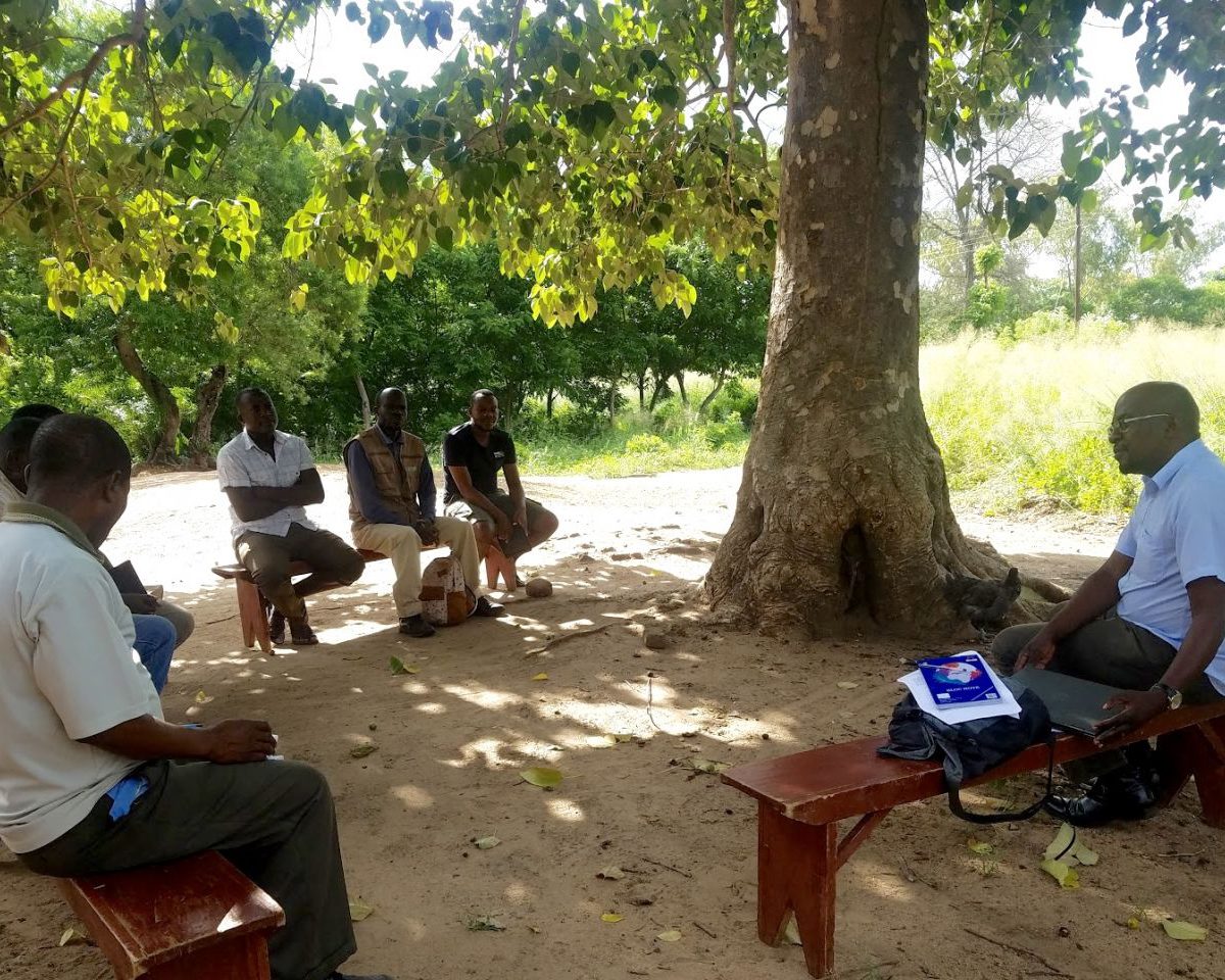
Employing PDIA to Improve Agriculture Admin Data Systems in Malawi
Agriculture data being reported, collected, and visualized is growing exponentially. But are the data we’re spending so much to collect truly relevant for decision makers? We’re proud to announce that, through our Results Data Initiative (RDI), we’re working with Malawi’s Ministry of Agriculture, Irrigation and Water Development (MOAIWD) to design a National Agriculture Management Information System (NAMIS).

Promoting Data Use within Changing Environments in Haiti
Eight years after the devastating earthquake, Haiti is in a unique position as it transitions from being the recipient of post-disaster humanitarian aid to pursuing stable, sustainable development. With this in mind, how can we make geocoded data easier to collect, analyze, and use as part of decision-making processes in the country?
Introducing the CCAPS Conflict Dashboard to Visualize Conflict Trends in Real Time
The Strauss Center's program on Climate Change and African Political Stability (CCAPS) analyzes how climate change could impact African and international security. Program research explores the drivers of climate insecurity, links between climate change and conflict, national responses to shocks and conflict, and the impact of adaptation aid responses.
Interactive Dashboard Shows Aid Trends in Africa
The Strauss Center's Climate Change and African Political Stability (CCAPS) program has released a new aid dashboard that includes an interactive map and graphing tools, allowing users to explore trends in aid allocation by donor, sector, and demographics across Africa. The dashboard is a collaborative effort that includes geocoded aid data from CCAPS and several partner institutions. AidData and CCAPS built the aid dashboard using Esri tools to combine trends analysis with the most comprehensive collection of geocoded data on aid projects in Africa.
New Geocoded Data Sheds Light on Social Conflict
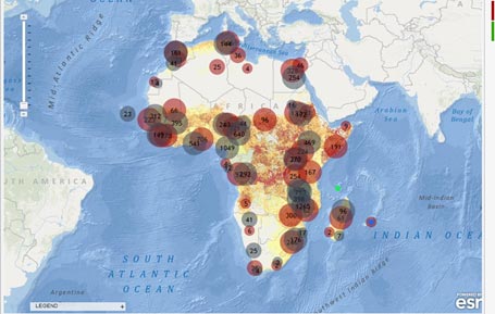
The Climate Change and African Political Stability (CCAPS) program launched Version 2.0 of the CCAPS mapping tool this week, adding the full Social Conflict in Africa Database, and updating the Armed Conflict Location and Event Dataset (ACLED) with events through 2012.
Geocoding can help governments and development partners improve division of labor
Mapping aid activities is a powerful way to show what donors are doing and where, which could be a big help in division of labor discussions.
Mapping Tool Analyzes How Climate Change, Conflict, and Aid Intersect
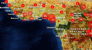
PRESS RELEASE
Geocoding Hits the Ground
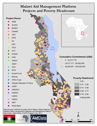
'This Story from the Field comes from Joshua Powell, a Business Development Associate with Development Gateway focusing on AidData and geocoding work:'