Posts categorized Program
Page 13

Kicking off AMP in Egypt
Development Gateway is pleased to announce that we will be developing the Official Development Assistance (ODA) Information Management Systems for the Ministry of Investment and International Cooperation (MIIC) in the Arab Republic of Egypt.

The Women In Mining (WIM) Index: Using Data to Measure and Improve Gender Considerations in the Extractive Sector // L’indice Women In Mining (WIM) : Utilisation des données pour mesurer et améliorer la prise en compte du genre dans le secteur extractif
Development Gateway (DG) is pleased to partner with Women In Mining (WIM) Guinea in the innovative design and development of a pilot for the first-of-its-kind Women's Index for the Extractive Sector: the WIM Africa Index.
What’s Next for the Results Data Initiative?
Moving into 2019, we are pleased to be expanding RDI alongside our growing set of partners and funders. The program’s third phase focuses on agency-level engagement, and we will be scaling our partnerships with these development agencies to use results data to inform critical policy and programmatic decisions.

Beyond Finance and Planning: AIMS Across Sector Ministries
In nearly 15 years of implementing aid management programs, we’ve seen a number of shifts in who uses aid data and how they use it. So we sat up and took notice of this quote from the latest ODI blog post.
Announcing the Visualizing Insights on Fertilizer for African Agriculture (VIFAA) Program
Sub-Saharan Africa’s population has grown by 11 million people a year for the past 60 years – for a total of about 670 million people since 1950. Mortality rates have declined, fertility rates have risen – but what does a shifting demographic dividend mean for keeping up with food security? Though fertilizer consumption in Sub-Saharan Africa makes
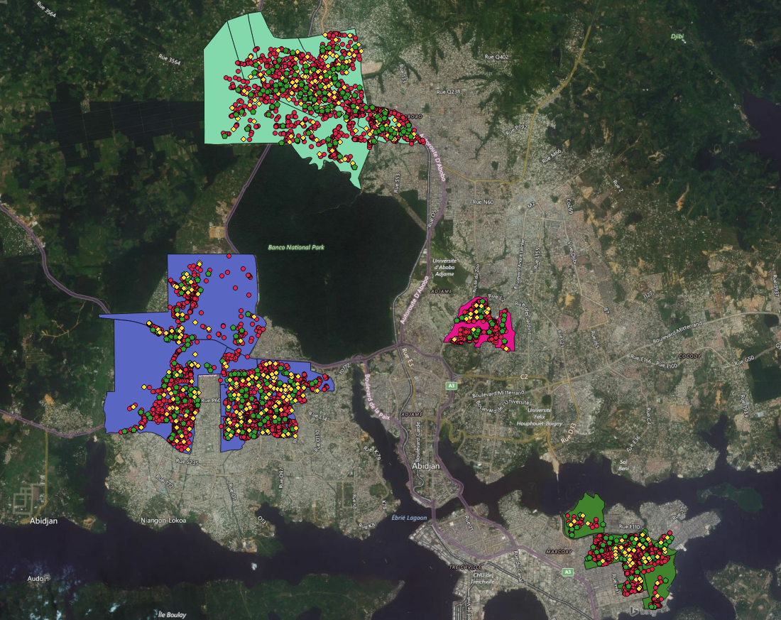
Sharing the OpenDCH StoryMap: Exploring the Mapping Process in Côte d’Ivoire
The Open Geospatial Data Center for Health (OpenDCH) program aims to address gaps in both data supply and demand in Côte d'Ivoire, focusing on stakeholder engagement, alignment of data sources, and forging of data literacy. OpenDCH is a partnership between AidData, Development Gateway, the Ministry of Health’s Direction de l'Informatique et de l'Information Sanitaire (DIIS), and USAID/Côte d’Ivoire.
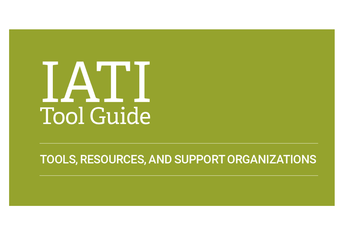
Cracking Open the IATI Tool Guide
As the number of tools and resources for using and publishing data to the International Aid Transparency Initiative (IATI) continues to increase, it gets harder to keep track of what is available, and how maximize each tool’s benefits. To address this, we at Development Gateway put together the IATI Tool Guide, a one-stop guide to IATI tools and resources.
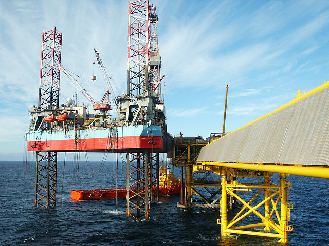
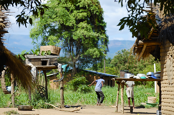
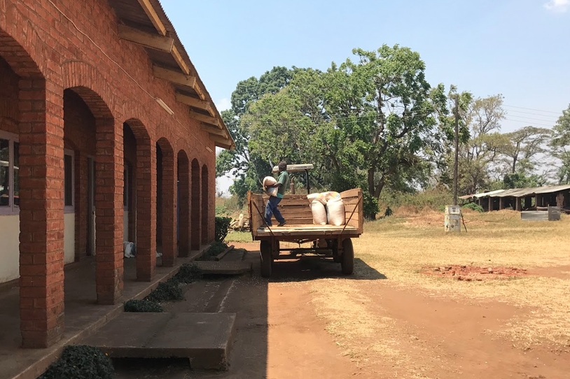
Extractives Data in West Africa: What’s the Road to Transparency?
Today, Development Gateway (DG) is pleased to announce that we have kicked off work with the Open Society Foundation in West Africa (OSIWA) to support the Extractive Industries Transparency Initiative (EITI). This work will focus on mapping data needs, availability, and use in the extractives sector in West Africa.
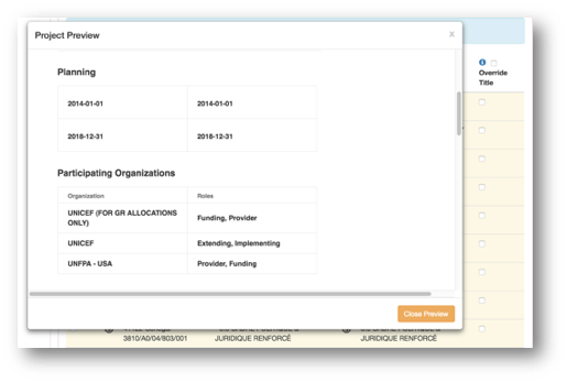
Streamlining the IATI-AIMS Import Process
At Development Gateway (DG), we continually emphasize learning and improving on established tools, seeking out new ways of designing to optimize impact. In recent months, as part of the International Aid Transparency Initiative (IATI) Data Use Fund, we’ve made several key improvements to our existing IATI-AIMS Import Tool that have made it more user-friendly and
Announcing AD3: Administrative Data-Driven Decisions
Development Gateway (DG) is proud to launch the Administrative Data-Driven Decisions (AD3) program, supported by the William and Flora Hewlett Foundation. Through this program, DG will work with governments in East and West Africa to improve the efficiency, effectiveness, and use of administrative data systems.