Posts categorized Open Data
Page 4
Announcing AD3: Administrative Data-Driven Decisions
Development Gateway (DG) is proud to launch the Administrative Data-Driven Decisions (AD3) program, supported by the William and Flora Hewlett Foundation. Through this program, DG will work with governments in East and West Africa to improve the efficiency, effectiveness, and use of administrative data systems.

DG and ONG 3D: Collaborating to Engage Senegalese Stakeholders in Open Contracting
As we've covered before, DG is pleased to be supporting the advancement of Open Contracting (OC) and enhancing data use in Senegal and Uganda. Through the Hewlett Foundation, we'll be completing a series of data use projects over the next two years, collaborating with local actors and developing tools to take existing open contracting efforts to the next level. In Senegal, we're working with the Autorité de Régulation des Marchés Publics (ARMP) and civil society partners to support the Government of Senegal and other key stakeholders in using procurement data to enhance procurement results.

Mapping for the Fight Against HIV/AIDS in Côte d’Ivoire: Our Continued Adventure
Geography and accessibility to services hold significant weight in identifying comprehensive strategies to sustainably control the HIV/AIDS epidemic. The Open Geospatial Data Center for Health (OpenDCH) project, supported by PEPFAR, aims to advance analysis of where the most affected communities are located, to focus on closing gaps in HIV testing and treatment. It will serve to improve understanding of HIV program coverage at the community level — leading to improved adherence, retention, and targeting of services.
Creating Open Geographic Data for the Fight Against HIV/AIDS
Tremendous progress has been made over the past two decades in the fight against HIV/AIDS in Africa. Citizens are more aware of the virus, medications have been improved, and access to support has increased. In Côte d’Ivoire, a remaining challenge in combating HIV/AIDS is to more effectively target hotspots and to ensure that resources are finding their way to local communities with the greatest needs for prevention and treatment.
Challenging Assumptions: Lessons from Designing User-Centric Tools in Malawi
What does it take to design a platform to collect, manage, and analyze a country’s agricultural information? Ideally, a significant amount of time to speak with key data producers and intended data users to understand needs and achieve buy-in. But, as was our experience in Malawi, – it also requires a fair amount of humility and iteration.
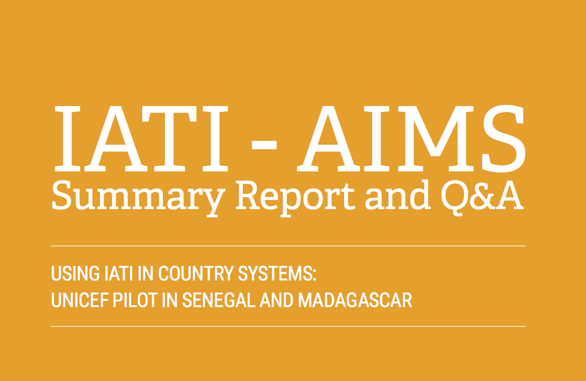
Did We Make the “Publish Once” Dream a Reality?
One of the central hopes of the IATI initiative was to “make the publish once dream a reality.” We’ve recently concluded work with UNICEF and Development Initiatives, seeking to help UNICEF achieve this dream, and publish their IATI data to country level systems. So did we do it? Did we make the dream a reality?
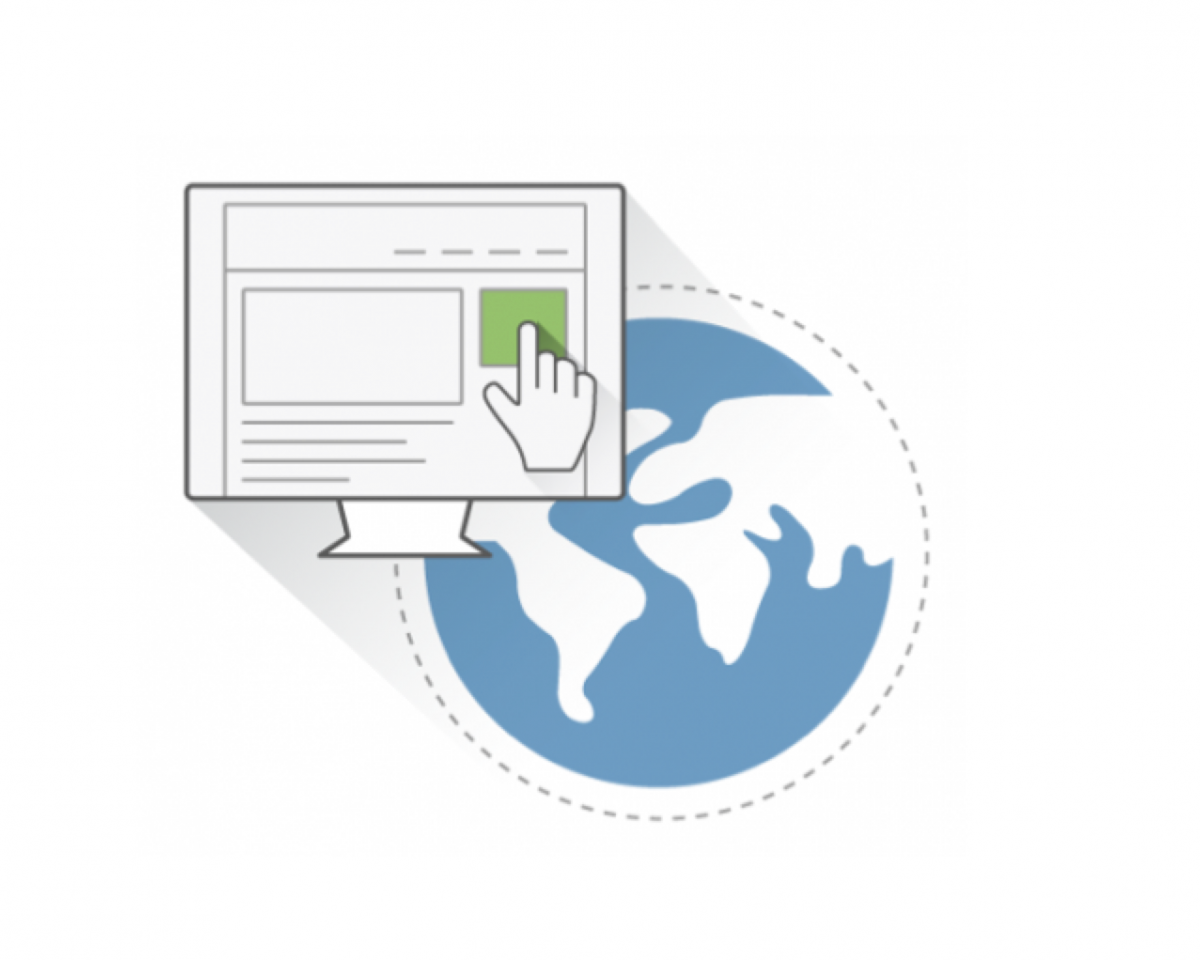
What does Data Interoperability Require in Practice?
A few months ago, under the mSTAR project funded by USAID, DG and our partner Athena Infonomics (AI) set out to understand the underlying structure of the data currently being collected and managed by Feed the Future implementers, and how to best support them to open up and share their data through digital tools and best practices.
.jpg)
Joining Up Data to Combat HIV/AIDS in Côte d’Ivoire
How can “joined-up” geospatial data support the battle against HIV/AIDS, by promoting evidence-based decision-making? Last month, Development Gateway joined our partners at the AidData Center for Development Policy in launching the Côte d’Ivoire (CIV) open geospatial data center (OpenDCH), supported by USAID-CIV and PEPFAR. The OpenDCH/GeoCenter aims to address key challenges related to the country’s
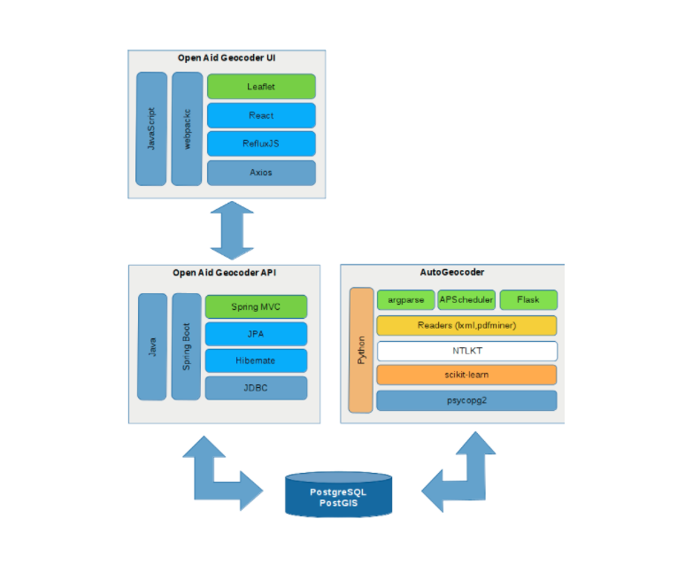
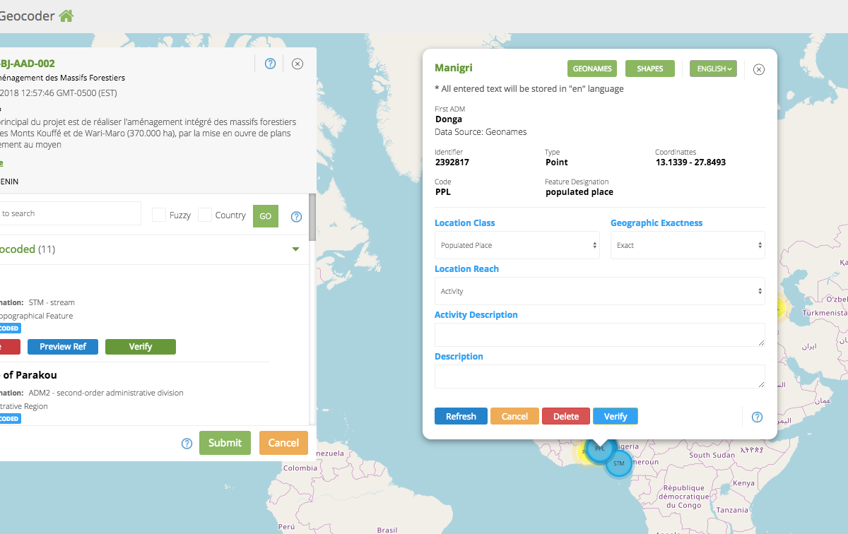
The Geocoding Suite: Let’s Get Technical
Development Gateway’s Geocoding Suite has several components, each working in tandem with aid and management information systems to assign precise geospatial data on the locations of development projects.We have recently announced the addition of a lightweight, user-friendly automatic geocoding backend tool – aptly called the AutoGeocoder. If you read our last blog post, you’re familiar
Hey Alexa, Where is FAO Working in Uganda?
Okay, so we might not be able to ask our smart home systems questions about where development efforts are taking place just yet. However, we're working to determine whether we could use Machine Learning to help us more quickly answer that very question, “Where is FAO working in Uganda?”